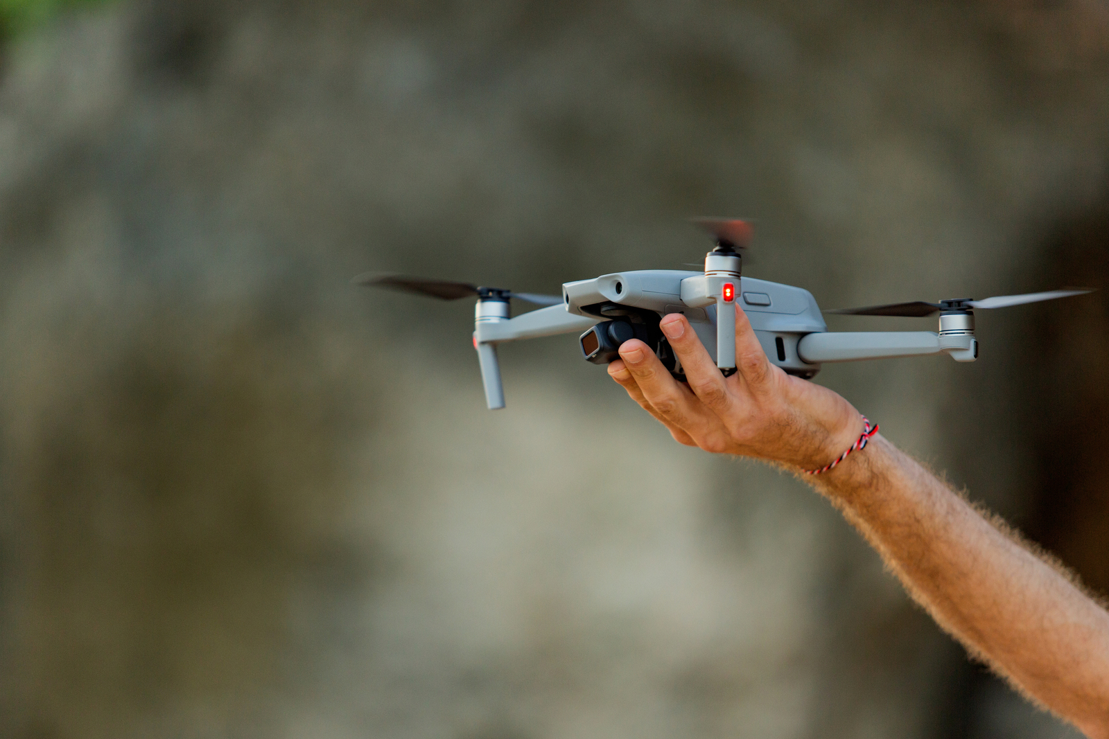
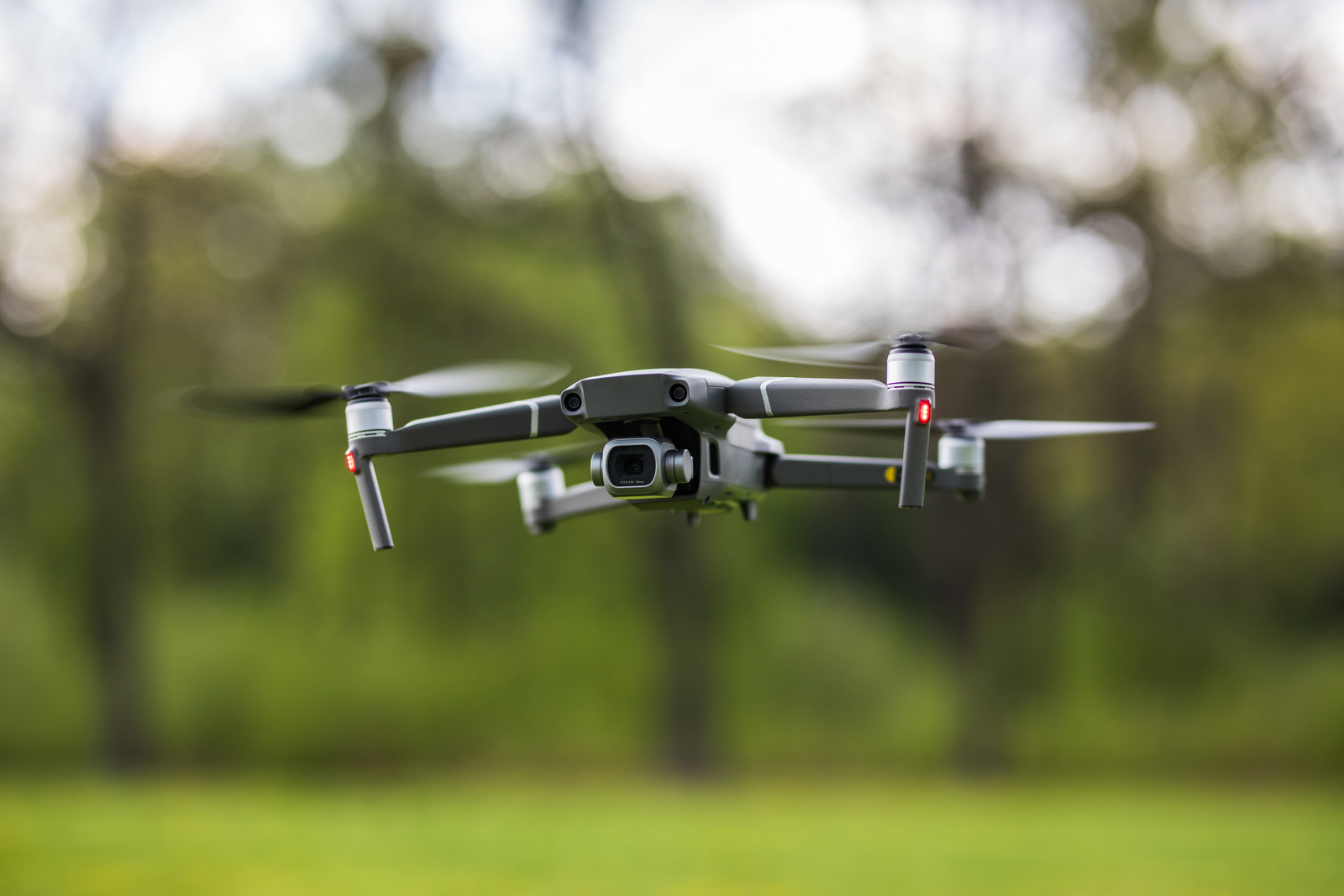
Aviance offers cutting-edge drone services tailored for topographic analysis, infrastructure inspection, agricultural diagnostics, and public-sector surveying. We combine technical excellence with regulatory expertise to support complex aerial projects with clarity and compliance.
Our professional drone services are designed to support large-scale infrastructure, environmental, and agricultural projects with unmatched aerial precision. We offer topographic mapping, cadastral surveys, structural inspections, and environmental assessments — all delivered with government-grade reporting standards and regulatory compliance. Operated by certified pilots and supported by aviation legal experts, our drone operations serve municipalities, engineering firms, state agencies, and agricultural enterprises seeking accurate data and reliable execution in the most complex environments.